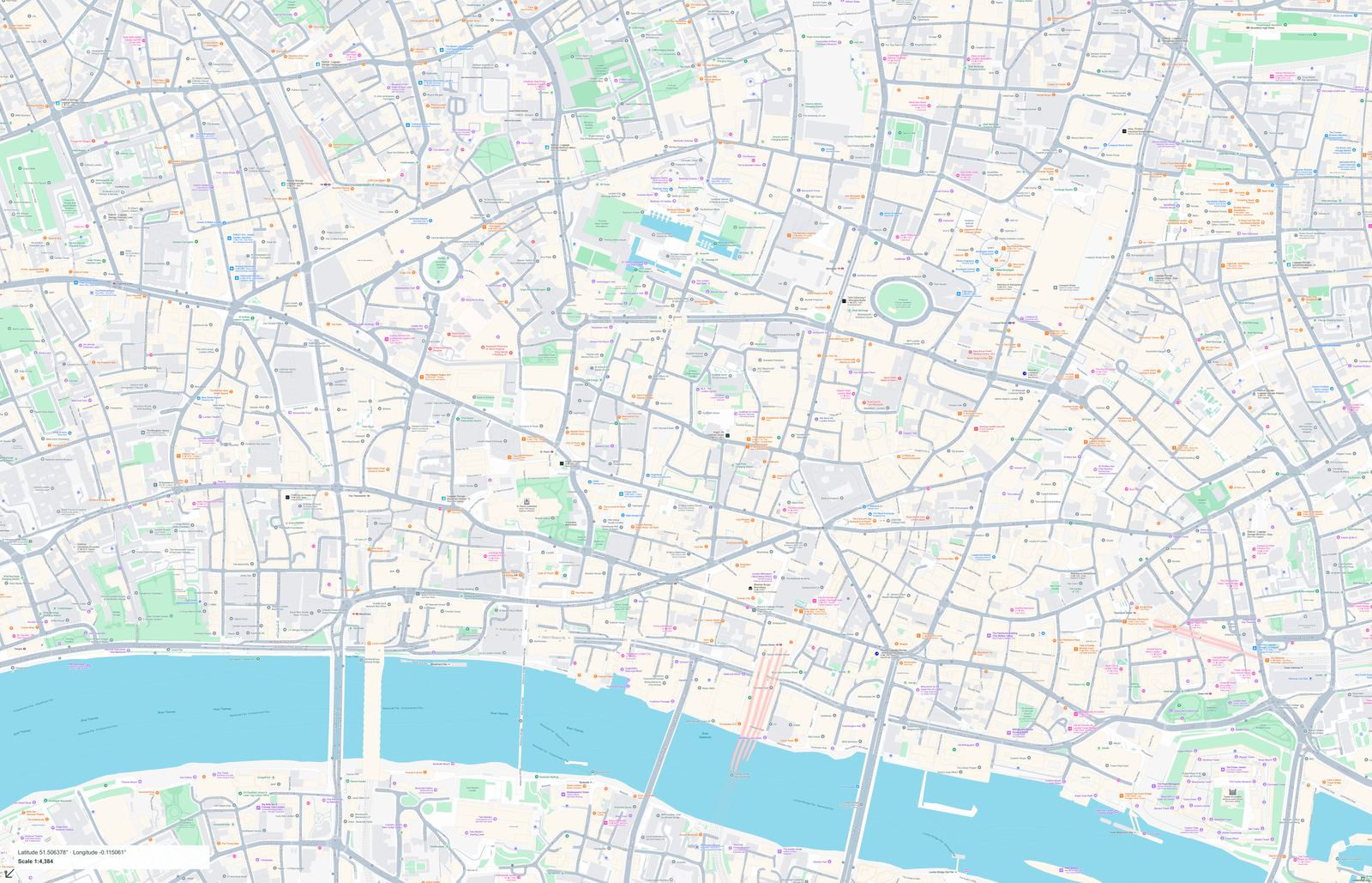
City of London Map
United Kingdom · London · English
Preview a street map of City of London and its surroundings. Check the coverage before purchasing full-size PDF and PNG files.
PDF + PNG · 10 USD
 makemap.org
London maps: City of London. Explore map previews and download print-ready PDF and PNG files.
Maps use the local language. Each map page lists its coverage, pixel dimensions and print size.
The City of London is a specific part of the capital, not a synonym for all of London. The available guide uses St Paul’s, Guildhall and the Monument as geographical and historical reference points. Street positions help with planning, while entrance details and current visiting conditions should come from the linked institutions. Compare the full frame before purchasing, especially if your itinerary continues outside the City. The catalogue only lists files that have been prepared and published.
United Kingdom · London · English
Preview a street map of City of London and its surroundings. Check the coverage before purchasing full-size PDF and PNG files.
PDF + PNG · 10 USD