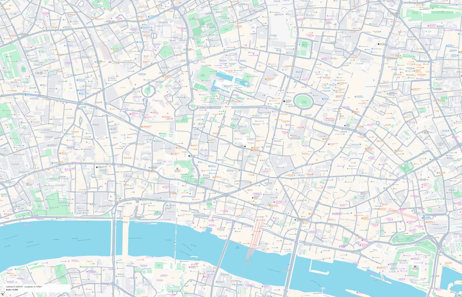
City of London Map
United Kingdom · London · English
Preview a street map of City of London and its surroundings. Check the coverage before purchasing full-size PDF and PNG files.
PDF + PNG · 10 USD
 makemap.org
United Kingdom maps: City of London, Edinburgh. Explore map previews and download print-ready PDF and PNG files.
Maps use the local language. Each map page lists its coverage, pixel dimensions and print size.
The published UK collection currently focuses on the City of London. This is a local urban map rather than a countrywide travel atlas. Start with the city category, then check each map’s rectangle, street labels and physical print size. A reference to London does not imply that every district, airport or visitor destination is included. The custom map tool provides a separate way to choose an area beyond the available catalogue.
United Kingdom · London · English
Preview a street map of City of London and its surroundings. Check the coverage before purchasing full-size PDF and PNG files.
PDF + PNG · 10 USD
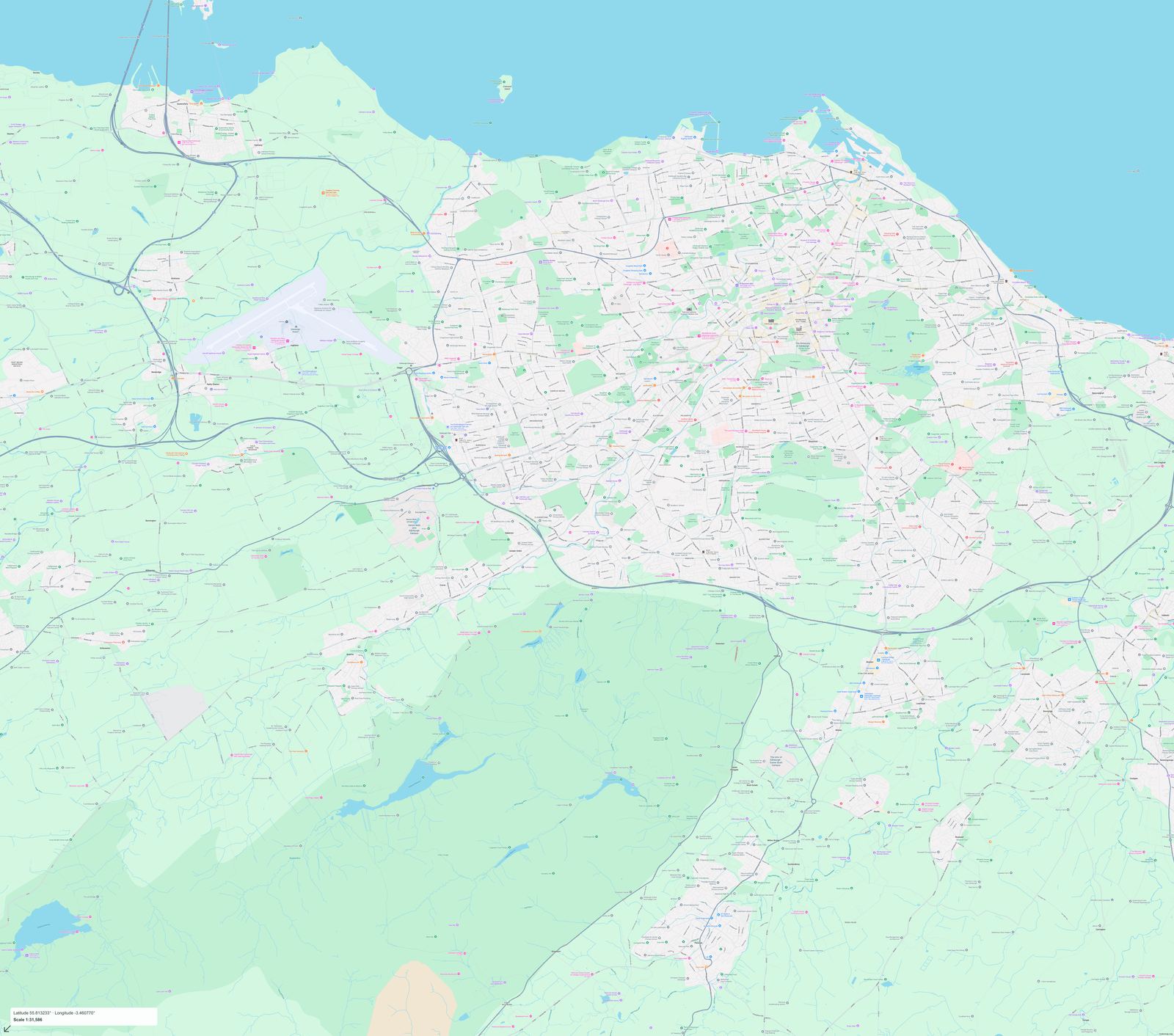
United Kingdom · Edinburgh · English
Preview a street map of Edinburgh and its surroundings. Check the coverage before purchasing full-size PDF and PNG files.
PDF + PNG · 10 USD