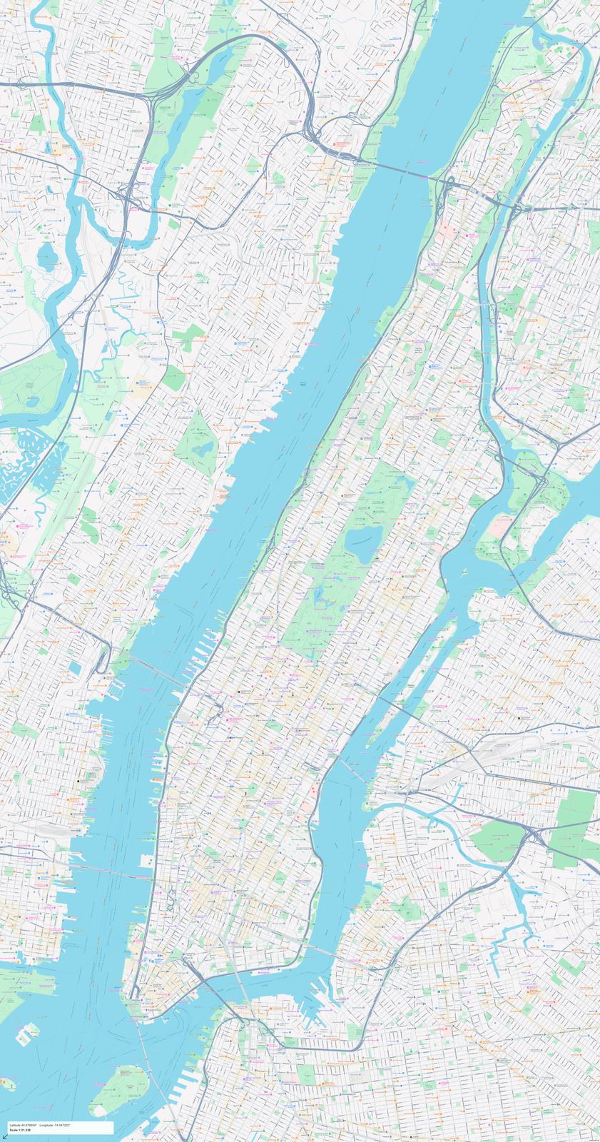
Manhattan Map
United States · New York · English
Preview a street map of Manhattan and its surroundings. Check the coverage before purchasing full-size PDF and PNG files.
PDF + PNG · 10 USD
 makemap.org
United States maps: New York, Chinatown. Explore map previews and download print-ready PDF and PNG files.
Maps use the local language. Each map page lists its coverage, pixel dimensions and print size.
The current US collection starts with Manhattan in New York. It is a local street-map collection, not a nationwide road atlas. Open the city category to inspect the available area and its print dimensions. A long island and a compact neighbourhood need different framing when printed on the same sheet. For a place outside the published collection, use the custom map tool to select your own frame rather than assuming it is included in an existing file.
United States · New York · English
Preview a street map of Manhattan and its surroundings. Check the coverage before purchasing full-size PDF and PNG files.
PDF + PNG · 10 USD
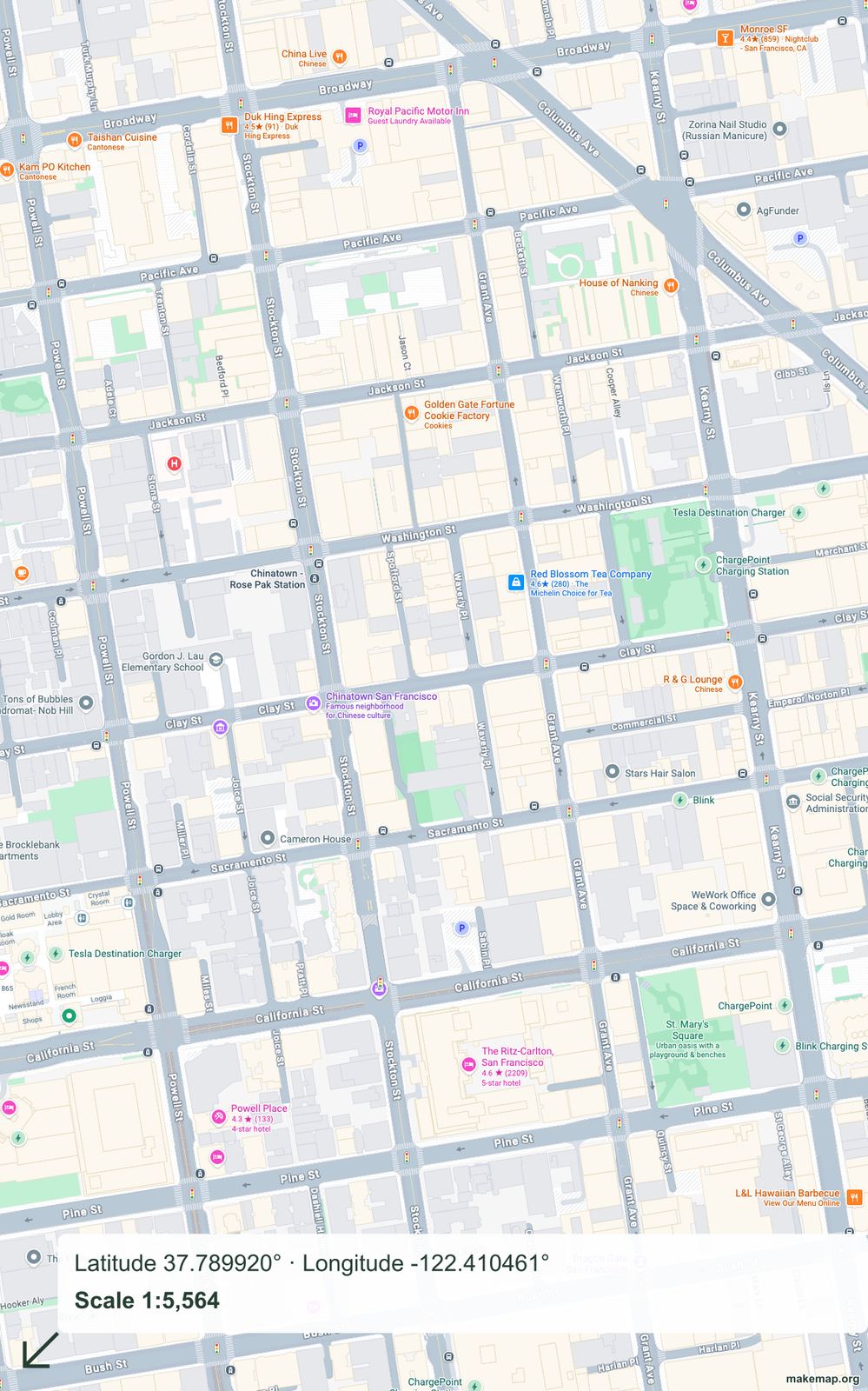
United States · San Francisco · English
Preview a street map of Chinatown and its surroundings. Check the coverage before purchasing full-size PDF and PNG files.
PDF + PNG · 10 USD